American Billboards That Caused Car Accidents and Got Banned Nationwide

1 / 10 Questions
0 Points

Which state became the first in America to ban billboards entirely along highways?

Alaska

Vermont

Maine

Hawaii

Points won
0
Correct score
0%

More Questions

More Articles

Did You Know? 20 Fun Facts About US State Parks

Did You Know? 20 Fun Facts About US State Parks

⏱️ 4 min read

Did You Know? 20 Fun Facts About US State Parks

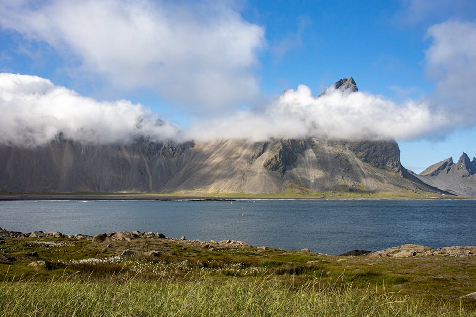
State parks are incredible natural treasures that offer diverse recreational opportunities and preserve significant landscapes across the United States. Here are 20 fascinating facts about America's state park system that showcase their rich history, unique features, and important role in conservation.

1. First State Park

Niagara Falls State Park in New York, established in 1885, was America's first state park. It remains one of the most visited state parks in the country and is also the oldest continuously operating state park in the United States.

2. Total Number

There are over 8,500 state parks across the United States, covering more than 18.6 million acres of land. This is nearly three times the number of national parks in the country.

3. Most State Parks

Alaska leads with the most state park acreage, while California has the most individual state parks with 279 separate units.

4. Highest Visitation

State parks collectively receive over 807 million visitors annually, which is more than twice the number of visitors to national parks.

5. Largest State Park

Wood-Tikchik State Park in Alaska is the largest state park in the United States, covering approximately 1.6 million acres – larger than some states!

6. Smallest State Park

Gardner Lake State Park in Connecticut, at just 0.04 acres, is considered one of the smallest state parks in America.

7. Underwater Park

John Pennekamp Coral Reef State Park in Florida was the first underwater state park in the United States, protecting extensive coral reefs and marine life.

8. Highest Point

Mount Mitchell State Park in North Carolina features the highest peak east of the Mississippi River, standing at 6,684 feet above sea level.

9. Economic Impact

State parks generate over $20 billion annually in economic activity nationwide through tourism, jobs, and local business support.

10. Historic Significance

Valley of Fire State Park in Nevada contains 3,000-year-old Native American petroglyphs and was Nevada's first state park, established in 1935.

11. Unique Features

Crater of Diamonds State Park in Arkansas is the world's only diamond-producing site open to the public, where visitors can keep what they find.

12. Wildlife Conservation

Custer State Park in South Dakota maintains one of the world's largest publicly-owned bison herds, with approximately 1,300 bison roaming freely.

13. Dark Sky Parks

Cherry Springs State Park in Pennsylvania is one of the best places for stargazing in the eastern United States, designated as an International Dark Sky Park.

14. Volunteer Impact

State parks benefit from over 2 million volunteer hours annually, saving states millions of dollars in maintenance and operational costs.

15. Accessibility

Nearly 75% of Americans live within 100 miles of a state park, making them more accessible than national parks for many citizens.

16. Fossil discoveries

Dinosaur Valley State Park in Texas preserves some of the best-preserved dinosaur tracks in North America, with footprints from various species visible in the riverbed.

17. Environmental Education

State parks collectively offer over 50,000 educational programs annually, reaching millions of students and adults with nature-based learning experiences.

18. Camping Facilities

State parks provide over 221,000 campsites across the country, offering more camping opportunities than national parks.

19. Trail Systems

State parks maintain over 43,000 miles of trails, providing extensive opportunities for hiking, biking, and horseback riding.

20. Historic Structures

State parks protect over 9,000 historic structures and help preserve significant cultural and architectural heritage across the United States.

Conclusion

State parks represent an incredible system of natural and cultural preservation, offering diverse recreational opportunities while protecting vital ecosystems and historic sites. From the smallest park in Connecticut to the vast expanses in Alaska, these parks provide essential services to communities, support local economies, and help preserve America's natural heritage for future generations. Whether visiting for outdoor recreation, education, or simply to connect with nature, state parks continue to play a crucial role in American public land management and conservation efforts.

Did You Know These 12 Facts About Iceland’s Geography?

Did You Know These 12 Facts About Iceland’s Geography?

⏱️ 4 min read

Did You Know These 12 Facts About Iceland's Geography?

Iceland, a Nordic island nation, stands as one of Earth's most fascinating geographical locations. This land of fire and ice harbors numerous remarkable features that make it unique among the world's countries. Here are 12 incredible facts about Iceland's geography that showcase its distinctive characteristics.

1. Europe's Second-Largest Glacial Coverage

Iceland contains Europe's second-largest glacier coverage, with approximately 11% of its total land mass covered by glaciers. Vatnajökull, the largest ice cap, covers 8% of the country alone and is Europe's largest glacier by volume, containing several active volcanoes beneath its icy surface.

2. The Most Active Volcanic Region in Europe

With over 130 volcanic mountains, Iceland experiences an eruption every 4-5 years on average. The country sits astride the Mid-Atlantic Ridge, where the North American and Eurasian tectonic plates meet, making it one of the world's most volcanically active regions.

3. Growing Landmass

Due to its location on the Mid-Atlantic Ridge, Iceland is literally splitting apart at a rate of about 2 cm per year. This continuous geological activity creates new land, making Iceland one of the few places on Earth where the landmass is actively growing.

4. Geothermal Energy Paradise

Iceland's unique geological position provides abundant geothermal energy, with over 200 volcanoes and countless hot springs. This natural resource supplies approximately 85% of the country's heating and hot water needs, making it one of the world's leading nations in renewable energy usage.

5. No Forests? Not Quite

While Iceland was once heavily forested, covering 25-40% of the land area, today only about 2% remains forested. The Viking settlement and subsequent sheep grazing dramatically reduced the forest coverage, though current reforestation efforts are working to reverse this trend.

6. The Youngest Country in Europe

Geologically speaking, Iceland is Europe's youngest country, formed only around 25 million years ago. The island continues to evolve through volcanic activity, with new islands like Surtsey emerging as recently as 1963.

7. Unique Waterfall Density

Iceland boasts one of the highest concentrations of waterfalls globally. The combination of glacial melt, frequent precipitation, and dramatic landscape creates thousands of waterfalls throughout the country, including the powerful Dettifoss, Europe's most voluminous waterfall.

8. The Northern Lights View

Iceland's geographical location, situated just below the Arctic Circle between 63° and 67° North latitude, makes it one of the best places to observe the Aurora Borealis. The country's position in the auroral zone provides optimal viewing conditions during the darker months.

9. Black Sand Beaches

Iceland's volcanic nature has created numerous black sand beaches, formed from eroded volcanic rock. The most famous, Reynisfjara, showcases dramatic basalt columns and sea stacks, demonstrating the island's volcanic heritage.

10. Midnight Sun Phenomenon

Due to its high latitude, Iceland experiences extreme seasonal variations in daylight. During summer solstice, particularly in the northern parts, the sun never fully sets, creating the midnight sun phenomenon where daylight persists for nearly 24 hours.

11. Uninhabited Interior

Iceland's interior, known as the highlands, remains largely uninhabited. This area, comprising about 40% of the country, consists of volcanic desert, mountains, and glaciers. The harsh terrain and climate make it one of Europe's largest unpopulated regions.

12. Underground Ice Caves

The interaction between volcanic activity and glaciers creates unique ice caves throughout Iceland. These natural formations, particularly common in Vatnajökull glacier, form when geothermal heat and summer melting create tunnels through the ice, resulting in spectacular blue ice caverns.

Conclusion

Iceland's geography represents a unique confluence of geological forces, creating a landscape unlike anywhere else on Earth. From its active volcanoes and growing landmass to its numerous glaciers and waterfalls, the country serves as a living laboratory of geological processes. These 12 geographical features demonstrate why Iceland continues to fascinate scientists, travelers, and nature enthusiasts worldwide, making it a truly remarkable place where the forces of fire and ice coexist in dramatic fashion.