


⏱️ 7 min read
The world is full of geographical oddities that challenge our understanding of how the planet works. From peculiar borders to unexpected natural phenomena, these fascinating facts reveal just how wonderfully strange our Earth can be. These quirky geographical tidbits offer fresh perspectives on the landscapes, territories, and natural features that shape our world.
Remarkable Geographic Oddities Around the World
1. Africa Touches Three Prime Meridians
Africa is the only continent that extends across the Prime Meridian, the Tropic of Cancer, and the Tropic of Capricorn. This unique positioning means Africa experiences every climate zone found on Earth, from Mediterranean to tropical, desert to temperate. The continent's vast north-south extension of approximately 8,000 kilometers creates this remarkable geographical diversity.
2. Russia Spans Eleven Time Zones
Russia's immense territorial expanse covers eleven time zones, more than any other country on Earth. When residents of Kaliningrad are having breakfast, people in Kamchatka are already preparing for bed. This vast time difference within a single nation creates unique challenges for national broadcasting, business operations, and governmental coordination.
3. Canada Has More Lakes Than the Rest of the World Combined
Canada contains an estimated 879,000 lakes, accounting for roughly 60% of the world's lakes. This includes bodies of water larger than three square kilometers. The glacial activity during the last ice age carved out countless depressions in the Canadian Shield, which later filled with water to create this astonishing lake system.
4. The Driest Place on Earth Is in Antarctica
The McMurdo Dry Valleys in Antarctica haven't seen rainfall for nearly 2 million years, making them the driest location on the planet. Despite being surrounded by ice, these valleys receive almost no precipitation due to katabatic winds that reach speeds of 200 miles per hour, evaporating all moisture before it can accumulate.
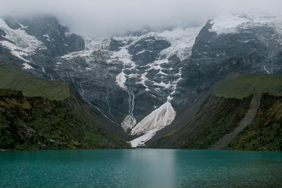
5. Mount Everest Grows Taller Every Year
The world's highest peak continues to grow approximately 4 millimeters annually due to ongoing tectonic plate movement. The Indian and Eurasian plates continue pushing against each other, the same geological forces that created the Himalayas millions of years ago. This means Everest will continue its upward journey for millennia to come.
6. Istanbul Sits on Two Continents Simultaneously
The Turkish city of Istanbul is the only major metropolis that straddles two continents: Europe and Asia. The Bosphorus Strait divides the city, creating a unique situation where residents can commute between continents during their daily routines. This geographical positioning has made Istanbul a cultural crossroads for thousands of years.
7. The Pacific Ocean Is Larger Than All Landmasses Combined
The Pacific Ocean covers approximately 165 million square kilometers, which exceeds the total area of all the world's continents put together. This massive body of water contains more than 25,000 islands and represents nearly half of all the ocean water on Earth, demonstrating just how much of our planet is covered by this single ocean.
8. Saudi Arabia Imports Camels from Australia
Despite being synonymous with desert landscapes and camel caravans, Saudi Arabia imports camels from Australia, which has the world's largest wild camel population. These Australian camels are descendants of animals imported in the 19th century and have thrived in the Outback, creating an unexpected reversal in global camel trade.
9. The Shortest Place Name Has One Letter
Several places around the world have single-letter names. The Norwegian village of Å, the Swedish village of Ö, and the French commune of Y all hold the distinction of having the shortest possible place names. These linguistic curiosities create interesting challenges for cartographers and postal services.
10. Chile Is the Longest Country North to South
Chile stretches approximately 4,300 kilometers from north to south but averages only 177 kilometers in width. This extreme elongation means the country encompasses diverse climates ranging from the world's driest desert in the north to glaciers and fjords in the south, all within a remarkably narrow geographic band.
11. The Netherlands Is Building Itself Larger
Through land reclamation projects, the Netherlands has increased its landmass by approximately 17% over the past century. The Dutch have created entire provinces from the sea, with Flevoland being the world's largest artificial island. This ongoing expansion demonstrates human engineering's capacity to literally reshape geography.
12. Vatican City Could Fit in Disneyland Eight Times
Vatican City, the world's smallest country, occupies only 0.44 square kilometers. To put this in perspective, the Disneyland theme park in California is larger than Vatican City, and could theoretically contain eight Vatican Cities within its boundaries. Despite its tiny size, it functions as a fully independent nation-state.
13. Africa Is Splitting Into Two Continents
The East African Rift System is slowly tearing the African continent apart. Scientists predict that in approximately 50 million years, the Somali plate will separate from the Nubian plate, creating a new ocean between them. This ongoing geological process demonstrates that Earth's geography is constantly evolving.
14. Mongolia Is the Least Densely Populated Country
Mongolia has a population density of only 2 people per square kilometer, making it the world's least densely populated sovereign nation. The country's vast steppes, desert regions, and mountainous terrain create enormous expanses with virtually no human habitation, offering a glimpse into truly undisturbed wilderness.
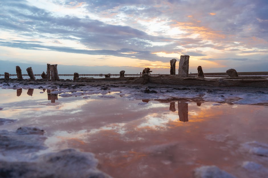
15. The Dead Sea Is Getting Smaller
The Dead Sea's water level drops by approximately one meter each year due to water diversion and evaporation. This hypersaline lake, already the lowest point on Earth's surface at 430 meters below sea level, continues sinking lower. The shrinking has created dramatic sinkholes and altered the surrounding landscape significantly.
16. Lesotho Exists Entirely Within South Africa
The Kingdom of Lesotho is one of only three countries completely surrounded by another nation. This mountainous country sits entirely within South Africa's borders, with its lowest point still 1,400 meters above sea level, earning it the nickname "Kingdom in the Sky." This geographical arrangement creates unique political and economic relationships.
17. There Are Underwater Rivers and Waterfalls
The Black Sea contains underwater rivers complete with trees and leaves on their riverbeds. These occur when saline water, being denser than regular seawater, flows along the ocean floor creating river-like channels. The world's tallest waterfall is actually underwater in the Denmark Strait, measuring approximately 3,500 meters in height.
18. The Arctic Ocean Is Technically a Sea
By oceanographic definitions, the Arctic Ocean could technically be classified as a sea because it's largely surrounded by landmasses. It's the smallest and shallowest of the world's five major oceans, covering approximately 14 million square kilometers. This geographical ambiguity reflects the complexity of defining ocean boundaries.
19. Sudan Has More Pyramids Than Egypt
While Egypt is famous for its pyramids, Sudan actually contains more ancient pyramids with approximately 220 compared to Egypt's 138. These Nubian pyramids at sites like Meroë demonstrate that pyramid-building civilizations extended far beyond what many people typically associate with ancient Egyptian geography.
20. Australia Is Wider Than the Moon
Australia's diameter of approximately 4,000 kilometers exceeds the Moon's diameter of 3,400 kilometers. This surprising comparison highlights both Australia's continental scale and provides an interesting perspective on lunar dimensions. The Australian continent covers nearly 7.7 million square kilometers of Earth's surface.
Understanding Earth's Geographic Peculiarities
These twenty quirky geographical facts demonstrate that our planet contains countless surprises waiting to be discovered. From continents slowly splitting apart to countries importing animals they're famous for, geography proves far more dynamic and unusual than standard maps suggest. These oddities remind us that Earth's landscapes, borders, and natural features continue evolving through geological processes, human intervention, and the complex interplay between nature and civilization. Understanding these geographical curiosities enriches our appreciation for the remarkable planet we inhabit and highlights the importance of continued geographical exploration and education.